The club’s annual visit to Falls Creek was very successful, and we enjoyed three days of walking in, and around, the high country.
Friday’s walk (led by Chris) was to Mount Jaithmathang, and having gathered at the Pretty Valley camping area we set off for Tawonga Huts in quite foggy conditions.
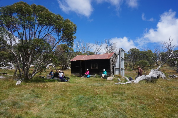
By the time we reached the huts the fog had lifted, and we enjoyed morning tea in brilliant sunny conditions.
Bracing ourselves for the next exertion, we followed the single file footpad that leads to the summit of Jaithmathang.
Given the La Nina wet season that we’ve had, this was expectedly quite a boggy adventure.
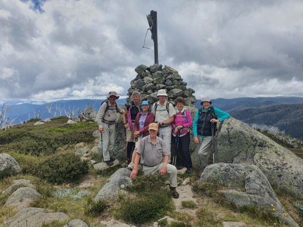
However we made it to the cairn, and enjoyed our lunch with some amazing views all around us.
Given the slippery conditions, the descent was nearly as slow as the ascent, and the eight of us made it back to our cars, having covered a little over 13km.
Friday night saw a gathering of walkers at The Last Hoot, and we psyched ourselves up for more action on the next day.
Saturday’s walk attracted 30 walkers, and we formed three groups of ten; the first of these (lead by Adrian) took the shortened version of the full loop out to Kelly and Fitzgerald Huts, whilst the other two groups (one led by Kerri, and one led by Chris) headed off for the full show.
Following Langford East Aqueduct, we enjoyed great views of the Cobungra Valley, before arriving at the t-junction (Kelly Track) just to the east of the two huts.
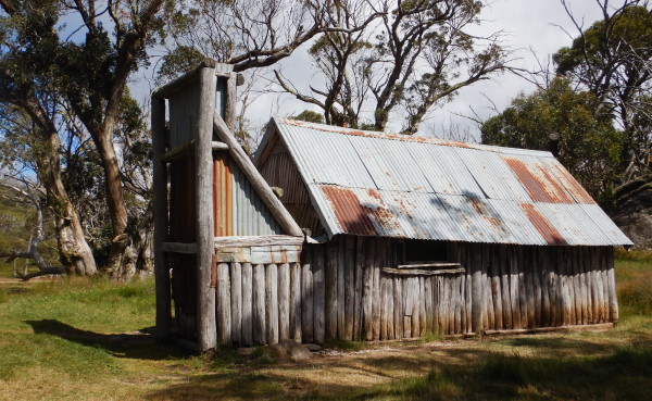
Hanging a left at this intersection, we continued to Kelly Hut, and enjoyed lunch in this beautiful setting.

Continuing on, we checked out Fitzgerald Hut, and then took the snow pole line to the environs of Marum Point.
Just beyond here, we veered left onto the Australian Alpine Walking Track, and followed this very scenic section of the AAWT back to the aqueduct, and thence to the start.
That evening there were social events at the Myrtleford Ski club and the Frying Pan Inn, a good time had by all.
Sunday’s walk (led by Jeanette and Michael) also started at Langford Gap, but this time we followed the Langford West Aqueduct, and headed towards Cope Hut.
We came across a small brown snake (about the size of a pencil) along the way, and continued on, past the Bogong Rover Chalet, and onto the Wallaces Heritage Trail.
Here, we stopped at the viewpoint, with storyboard and seating, for our morning tea.

Continuing on, we checked out Cope Hut, and its camping facilities (fantastic views from each campsite) before continuing along the Heritage Trail to Wallaces Hut for lunch.
This was at an outdoor dining setting that suited our group size perfectly.
After exploring the Hut, we continued along the Wallace Hut Track to the aqueduct, and then returned to Langford Gap.
All up, we had trekked approx 11k.
Another group of walkers started at Wallace Hut Track, and completed the Wallaces Hut and Cope Hut loop of approx 7k.
For those staying off the mountain, Cecily led half a dozen explorers up Survey Track from Mt Beauty township, climbing steadily below the Falls Creek Road to Crankie Charlie Corner.
Morning tea was had at a convenient bench seat, overlooking the East Kiewa River, and Mt Bogong, with its head in the clouds.

This lovely single foot track winding through the bush was also a mountain bike track – but as the morning warmed up we had the track to ourselves.
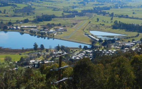
The return was via Pole Track, a four-wheel drive track winding below the power transformer towers, providing great views over Mount Beauty, and the Kiewa Valley.
Our group arrived happily back in town for refreshments at the cafe, where we met some of the Falls Creek party, also enjoying refreshments before their drive home.
A very enjoyable 8.5km return loop, made a bit harder by the warmth of the day, we will have to start earlier next time.
Overall, a great weekend; the high country always provides great walking.

