
This route was pioneered by Karen Davis, and is a very interesting, and enjoyable, walk.
The 19 participants met at Rotary Park at 7.30am, organised car pooling, then headed off to Loggers Lane. Having dropped off all of our gear, we took a shuttle car to the picnic area at Jubilee (Briens) Falls, and we were finally walking on the track at 8.30am.
We headed south, along Loggers Lane, and had an early morning tea at the junction of Loggers Lane, and the un-signposted Stypandra Track.
We now followed the disused vehicular track along the spur, and then descended down to the valley floor, with great view of the Ovens/King floodplains.
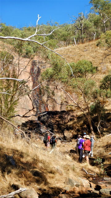
Turning west at a fence line, we followed this through to a clearing where there is an un-named waterfall. This is a very scenic locality, and has evidence of European settlement at some time.
Returning along the fence line, we walked alongside Jubilee Golf Course, emerging from the bush about 300m from the picnic area at Jubilee Falls.
After lunch here, we returned to Loggers Lane, via the shuttle car, to collect our cars.
This was rated as a moderate walk, and we had a nice sunny day (max 27c) for our eight kilometre adventure. The overall time taken was about 3.5 hours (8.30am to midday).
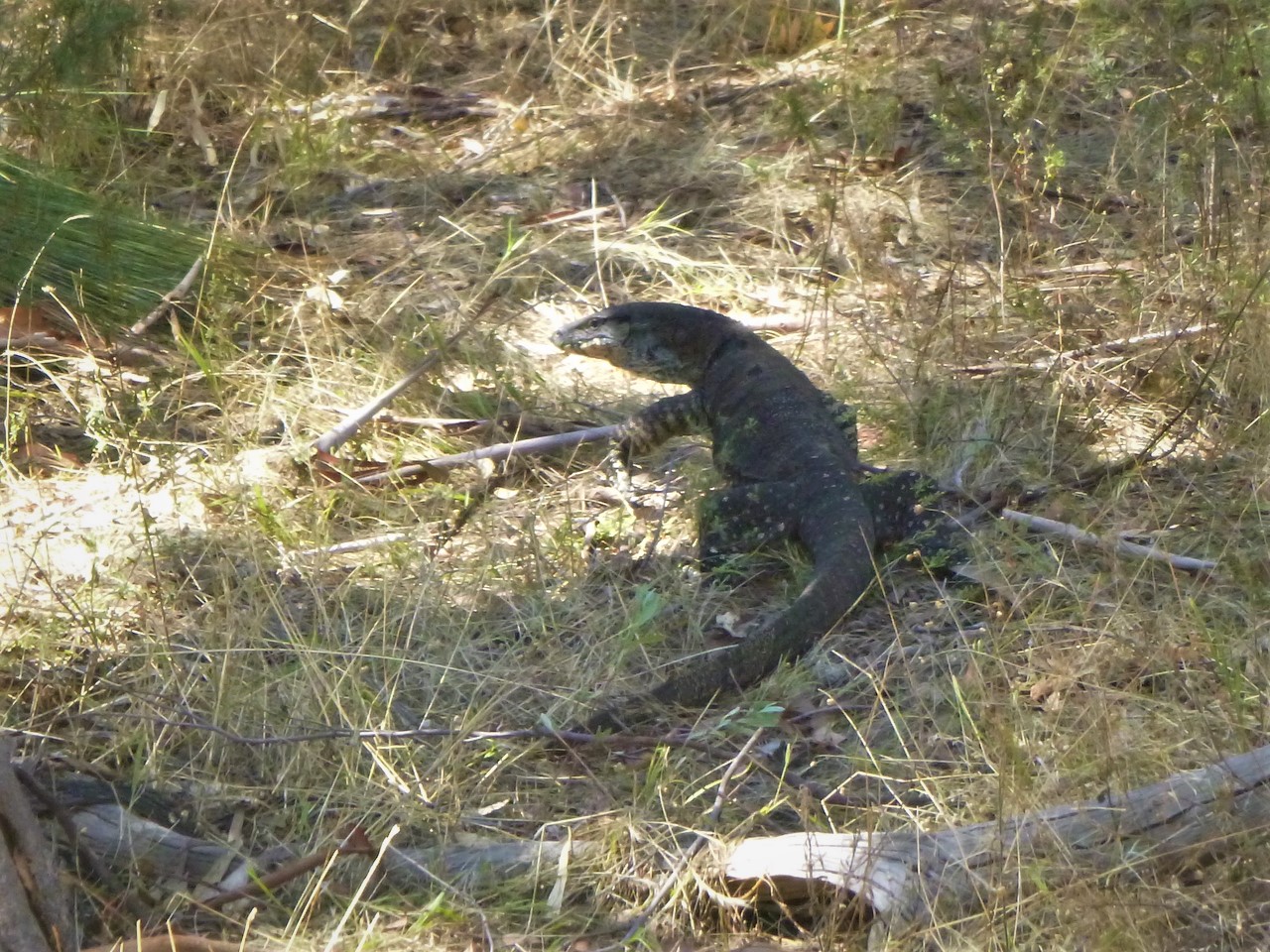
Flora and fauna included many intriguing colonies of grass-trees, eight kangaroos, and a metre long goanna.
Most of the route taken is shown on Rooftop Maps Beechworth-Albury-Wangaratta Adventure Map , but not on any topographic maps of the area.
This walk along Stypandra Track was originally scheduled for January 23, but was delayed because of hot conditions on that date.
Chris M