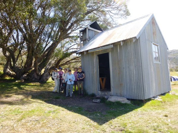
Our Falls Creek weekend was based at the Myrtleford Ski Club, and from here 21 adventurers ambled across the High Plains on the Saturday to Weston’s Hut. Having arrived at the Hut, Eric Weston’s daughter, Mary Goldsworthy, explained about the construction of the hut in 1932.
Our own member Trevor Turnbull, was able to fill us in on the rebuild after the hut was lost in the 2006 fires.
For those who want more info on the Hut, Harrys Stephenson’s 1980 book Cattlemen and Huts of the High Plains, and Klaus Heuneke’s excellent book Huts in the Victorian Alps have the details.
Stephenson’s book has been out of print for many years, but some libraries still have a copy (when it was in print, it broke all records for sales of a self-published book in Australia).
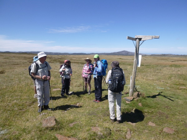
The Hut was accessed by driving to the camping area/day visitor area near the Pretty Valley Pondage, and after walking along the Fainter Trail, we headed south-east to AAWT Pole 333.
Here, we veered right, making a descent towards the Hut, and the catchment of the West Kiewa River.
Whilst we were enjoying ourselves hearing about Weston’s Hut, a smaller group had walked out to Tawonga Huts, from the Fainter Trail, and after we all arrived back at the ski lodge, the festivities began.
The 28 club members present celebrated founding member Adrian Twitt’s 20th leap birthday on that day, the 29th February, although the youngster was not actually there.
Many remarked that Adrian was clearly, physically just out of his teenage years, but had achieved so much in only two decades!
As well as these birthday celebrations, Judy and Bob were congratulated for having achieved almost 50 years of being together!!
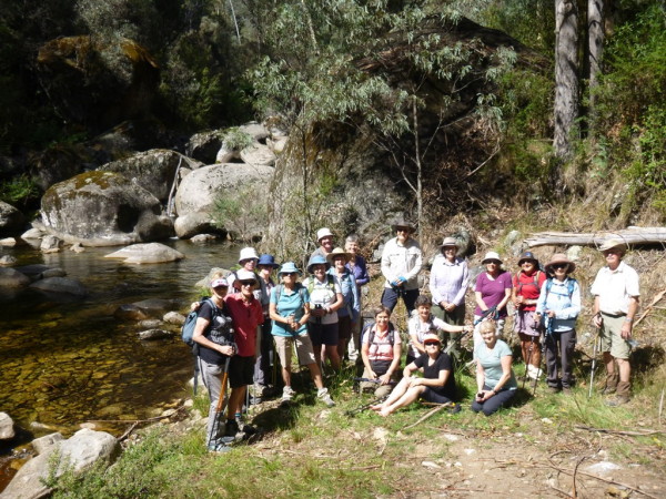
Rocky Valley Stream.
The walk for today (Sunday) was to have been in the area of Kelly and Fitzgerald Huts on the high plains, but this didn’t happen because of bushfire damage near those two huts.
Plan B was to walk from Bogong Village to the point where Spion Kopje Fire Trail crosses Rocky Valley Stream, and then return to our cars via the popular loop around Lake Guy.
Rocky Valley Stream forms a major part of the Kiewa River, and rises in the heart of Victoria’s Alpine Region; its catchment area includes much of the Bogong High Plains, as well as parts of Mount Bogong itself.
Setting off from Bogong Village, we all passed comment on the low water level in Lake Guy, and continued round to the Pretty Valley Stream bridge. Having crossed this scenic alpine waterway, we took the steep-ish track off to the right that leads to a roadside pull-in on the Bogong High Plains Road.
Taking the sign-posted Spion Kopje option from the pull-in, we ambled along to the Rocky Valley Stream, following a little used forestry track (the track is gated and locked at the start so there was little chance of meeting any vehicles).
The track provided enticing views of Rocky Valley Stream before we actually arrived at the water, and once there we had morning tea, and indulged in a few riverine antics, despite the chilling cold water.
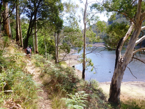
Returning to the roadside pull-in, we made the relentless descent back to the environs of Bogong Village, and Lake Guy, only to find that the lakeside walk is now closed.
The hydro electricity operator (AGL) has safety concerns about the track, in particular the stretch that passes through the dam wall, so that was the end of our outing.
Distance covered (according to my GPS) was 9.5km, and the time taken for our group of 24 was about three hours. [Chris]


